Ireland, known for its stunning landscapes and rich history, often begs the question: just how big is it? This article delves into Ireland’s size, comparing it to various US states and countries worldwide to provide a clear perspective. We’ll examine both the entire island of Ireland and the Republic of Ireland separately, offering a comprehensive understanding of its geographical dimensions.
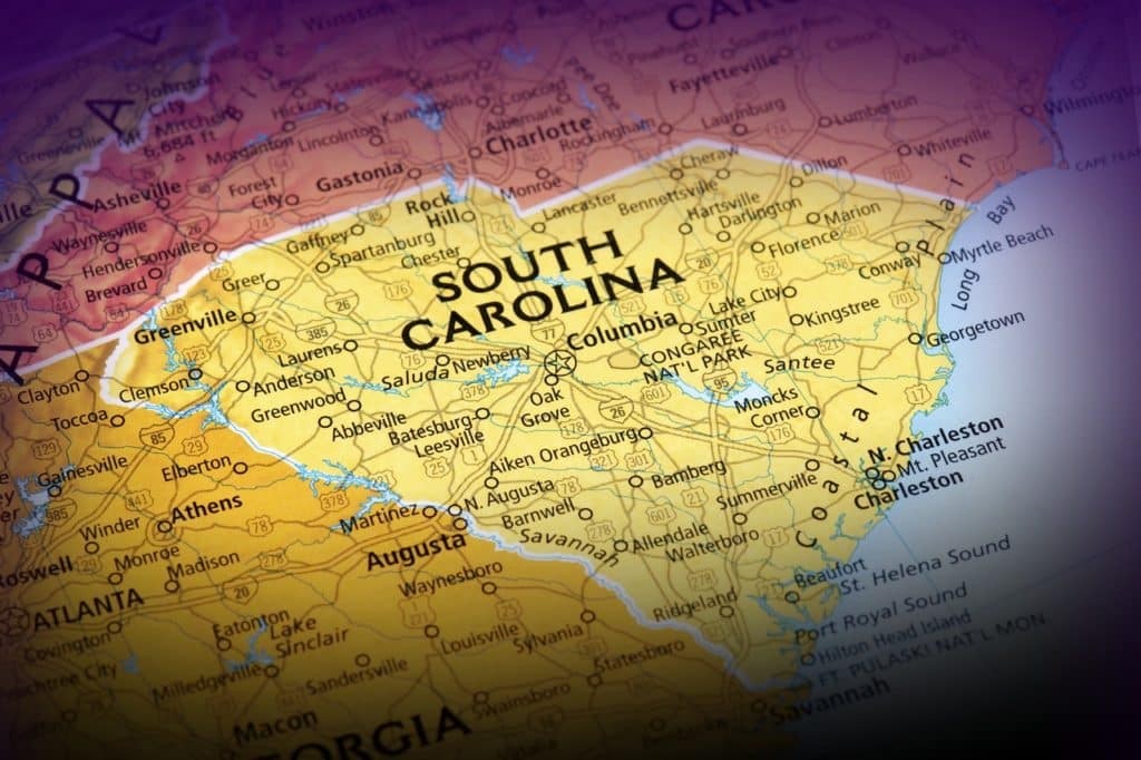
South Carolina’s landscape, similar in size to Ireland.
Ireland’s Size Compared to US States
The island of Ireland, encompassing both the Republic of Ireland and Northern Ireland, is approximately 84,421 square kilometers (km²). This makes it remarkably close in size to the US state of South Carolina, which boasts 82,933 km². Maine (91,633 km²) and Indiana (94,326 km²) are also relatively comparable.
Focusing solely on the Republic of Ireland, with an area of 69,797 km², the closest US state in size is West Virginia, measuring 62,756 km². This highlights the significant size difference between the whole island and the Republic.
Global Size Comparisons: Countries Similar to Ireland
Several countries around the world share similar dimensions with Ireland. Austria (83,871 km²) is remarkably close to the entire island’s size. Other comparable nations include Azerbaijan (86,600 km²), Portugal (92,090 km²), and Hungary (93,028 km²).
The Republic of Ireland, on the other hand, finds its closest size match in Georgia (69,700 km²). Latvia (64,559 km²) and Lithuania (65,300 km²) also fall within a similar size range.
Ireland Compared to Larger Countries and States
To further contextualize Ireland’s size, let’s compare it to larger landmasses. Texas, for example, is a staggering 8.24 times larger than Ireland. California is 5.03 times bigger, while Alaska dwarfs Ireland, being over 20 times its size.
On a global scale, Ireland is significantly smaller than the world’s largest countries. Russia is a colossal 202 times larger, followed by Canada (119 times) and China (116 times).
Visualizing Ireland’s size in relation to larger countries.
Length, Width, and Driving Distances Across Ireland
Ireland’s maximum length, from Malin Head in County Donegal to Mizen Head in County Cork, is approximately 678 km. Its widest point spans 275 km. Driving across the country, from Dublin to Achill Island, takes roughly 4 hours (295 km). A journey from Malin Head to Mizen Head requires around 8 hours (708 km).
Conclusion
Understanding Ireland’s size provides valuable context when planning trips or simply appreciating its geographical footprint. Comparing it to familiar US states like South Carolina and West Virginia, or to countries like Austria and Georgia, helps visualize its dimensions. While smaller than many global giants, Ireland’s diverse landscapes and rich culture pack a significant punch within its relatively compact borders.